- Length – 19.6 km
- Elevation – 772 m
- Difficulty – Moderate
Before I get into the nitty gritty of this hike, we did not complete the hike to the summit. Everything in this post is based off what we completed which was to the valley about 1 km from the end of the pass.
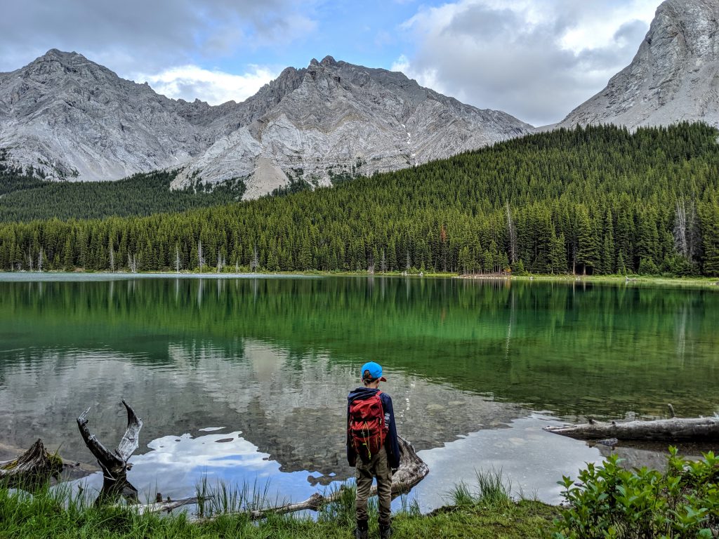
The moment you leave the parking lot you begin to gain elevation quite quickly until you reach Elbow Lake which is approximately a km from the parking lot. This is the busiest section of trail as there is back country camping sites at the lake.
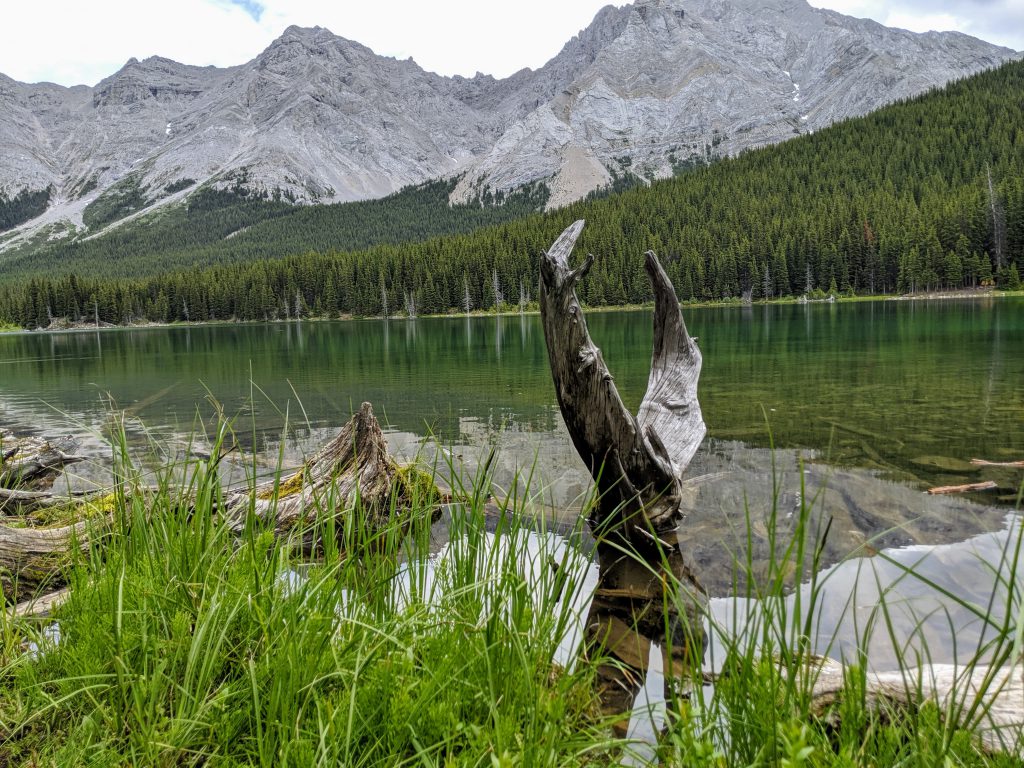
The lake is a beautiful see through green, reminiscent of Grassi Lakes but without all the tourists.
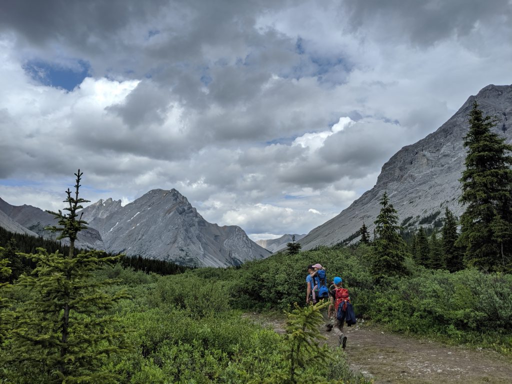
After the lake the terrain evens out a bit and is a relatively flat and easy hike. This trail is also used as an equestrian trail and some of the paths are pretty ripped up. We were very thankful we were all in water proof boots as we navigated through the muck and pools on the trail. (Keep in mind, this is being written during a very wet and rainie summer).
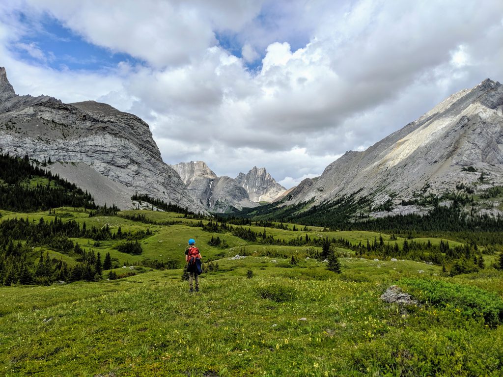
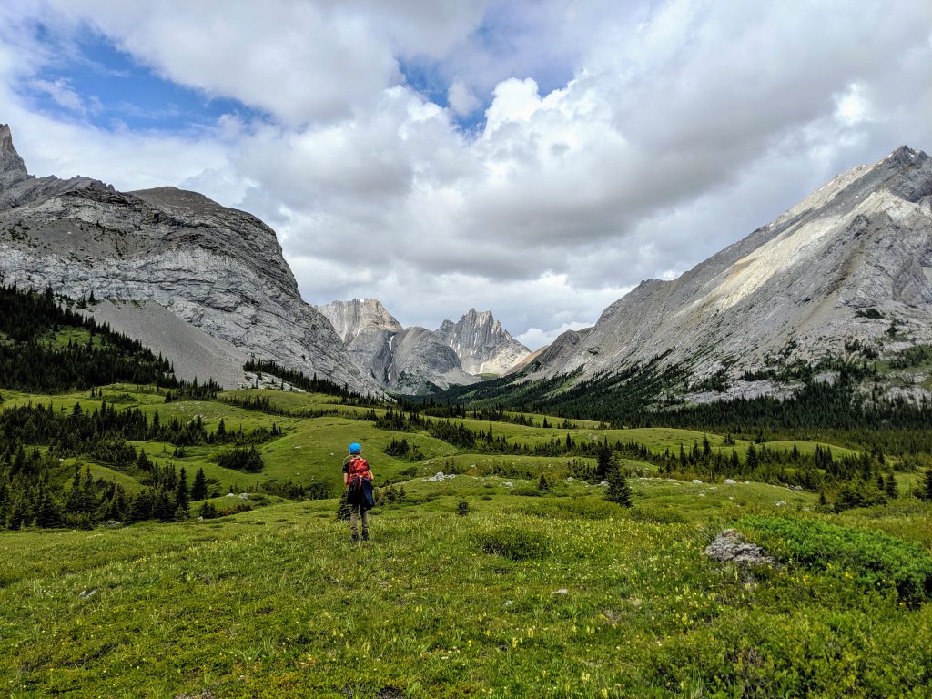
I absolutely can not express the absolute beauty of this hike. The mountain to the right is Tombstone Mountain. I’ll have to climb that one day I think.
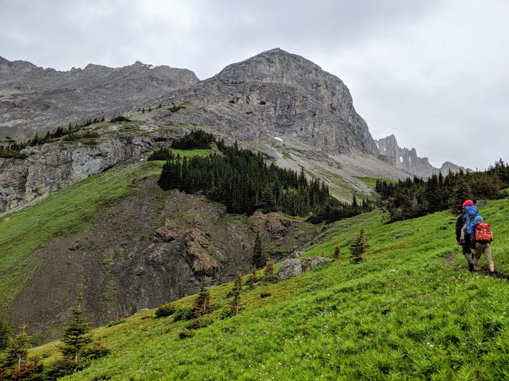
The Piper Pass portion of the hike is nothing more then a goat path and actually difficult to find if you don’t know what you’re looking for. You should have your route mapped out before heading out. There was multiple times I second guessed myself as we were almost bushwacking in some spots.
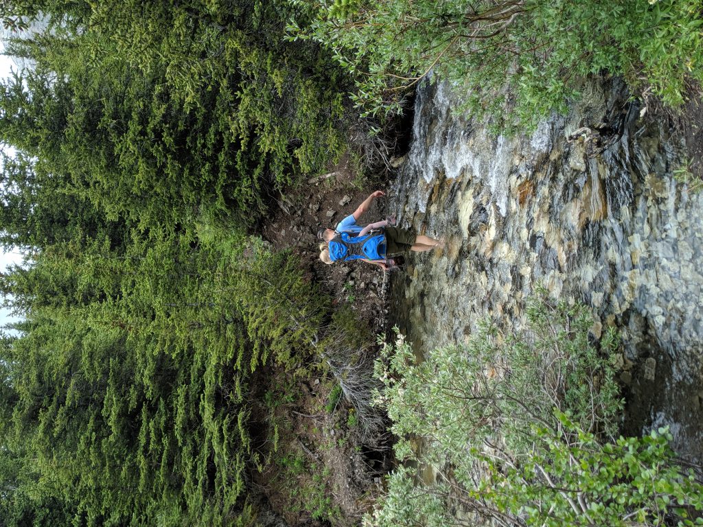
There were 2 separate creek crossings. The first crossing, there’s no way around it you will be in the water. We took our boots off as the water was up to our knees. It was so cold that a few steps into the crossing our feet started to numb. However there is a large downed tree at the second crossing just up the creek a little ways. Its a much smaller crossing as well.
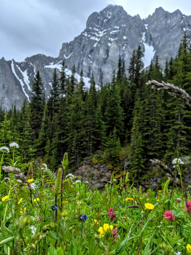
From the creek you will spend the next few km’s hiking through forrest. The path is well defined. There is a brief opening in the trees where you will start to see dense wild flowers. Then back in the trees you go.
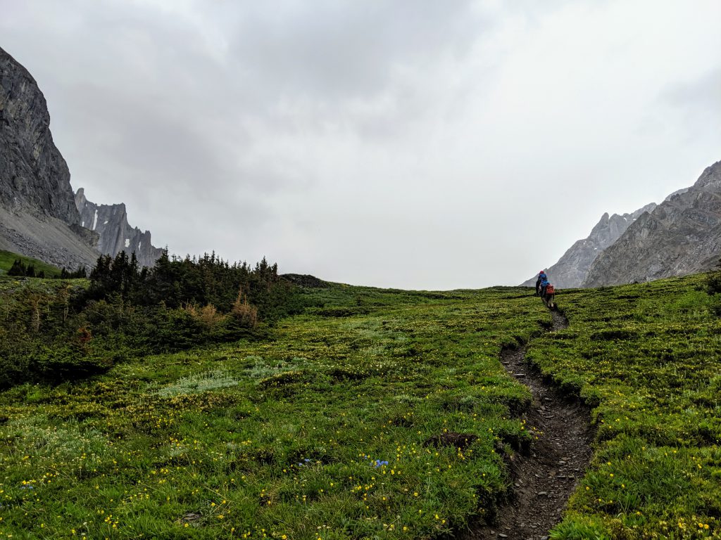
The final ascent into the valley is a small and well warn path through wildflowers. If you are looking for wildflowers this is the hike for you. Its hard to tell in the picture but this entire field was littered with every wildflower imaginable. The path itself is indented almost a foot deep as to not wreck the surrounding flowers. Good job follow hikers!
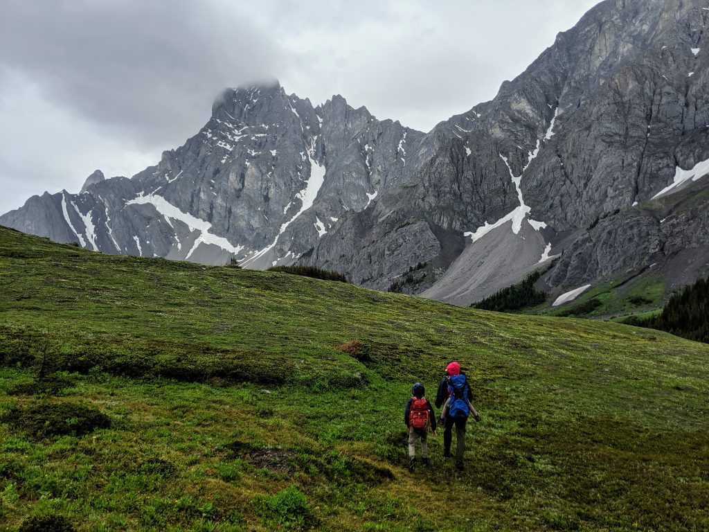
It rained almost our entire hike and it was quite windy in the valley or we could of spent all day here. It was absolutely beautiful. Flowers, creeks, mountains and lots of mountain goats hanging around.
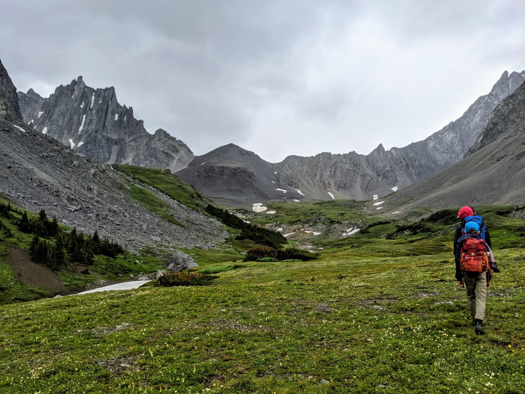
As I said before, we did not end up finishing this trail but you can see the end in this photo. Left of center is a small black peak, this is the end of the trail. I will update info when I’ve done the path in it’s entirety. With the rain we didn’t want to traverse a half km ascent of wet scree with a 4 and 10 year old.
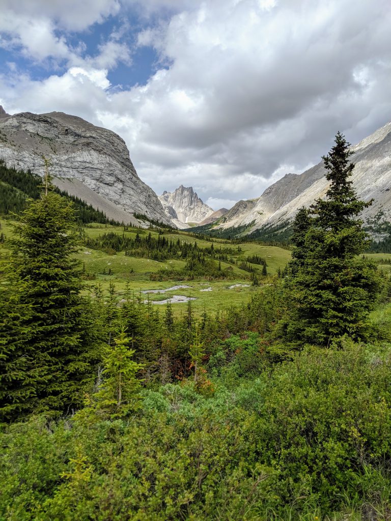
So to recap, this is a moderate hike up to the valley. The path is well defined although you will have to know where you are going to take the correct turn to piper pass so map out your route ahead of time. We were very happy so have waterproof footwear navigating thick and wet brush. The trail is busy for the first km but after the turn off for piper pass we had the entire trail to ourselves. I would say this is and fabulous family hike and you can certainly take a leashed dog on this trail. This is bear territory and although the rain kept the mosquitoes away I can only imagine that it can get quite buggy. This is the perfect trail if you are looking to see/photograph wilfflowers. We went mid July and it was in full bloom.